
16-Day Expedition · Northern Vietnam
Große Nordschleife
The full arc of the far north — from the terraces of Mu Cang Chai to the cliffs of Ma Pi Leng and the falls of Ban Gioc, ridden end to end and fully supported.
The Route, Unfolded
16 days, one continuous line
Follow the journey the way you’ll ride it. As you move through each day, the route draws itself across the map — every pass, village and overnight in order.
Hanoi → Mai Chau
- Red River Delta dyke roads
- the Perfume Pagoda region
- rice paddies
- Mai Chau valley
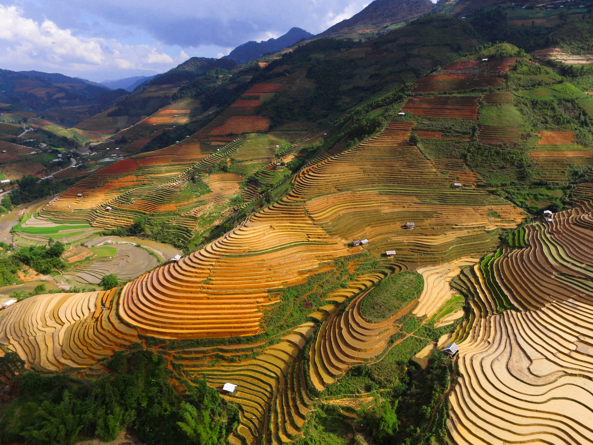
The adventure begins in Hanoi. We slip out of the city early to miss the morning rush, then let the highway hand over to quieter country roads. This first day eases you in while still serving up scenery — Red River Delta dyke roads, the Perfume Pagoda region, rice paddies and Mai Chau valley. It is a deliberately gentle start: time to get a feel for your bike, meet the group and learn how we ride together before the mountains arrive. Come evening you settle in around Mai Chau, the White Thai, a stilt-house homestay and a cultural performance.
Mai Chau → Phu Yen
- Road 43
- the Da River
- the Van Yen ferry
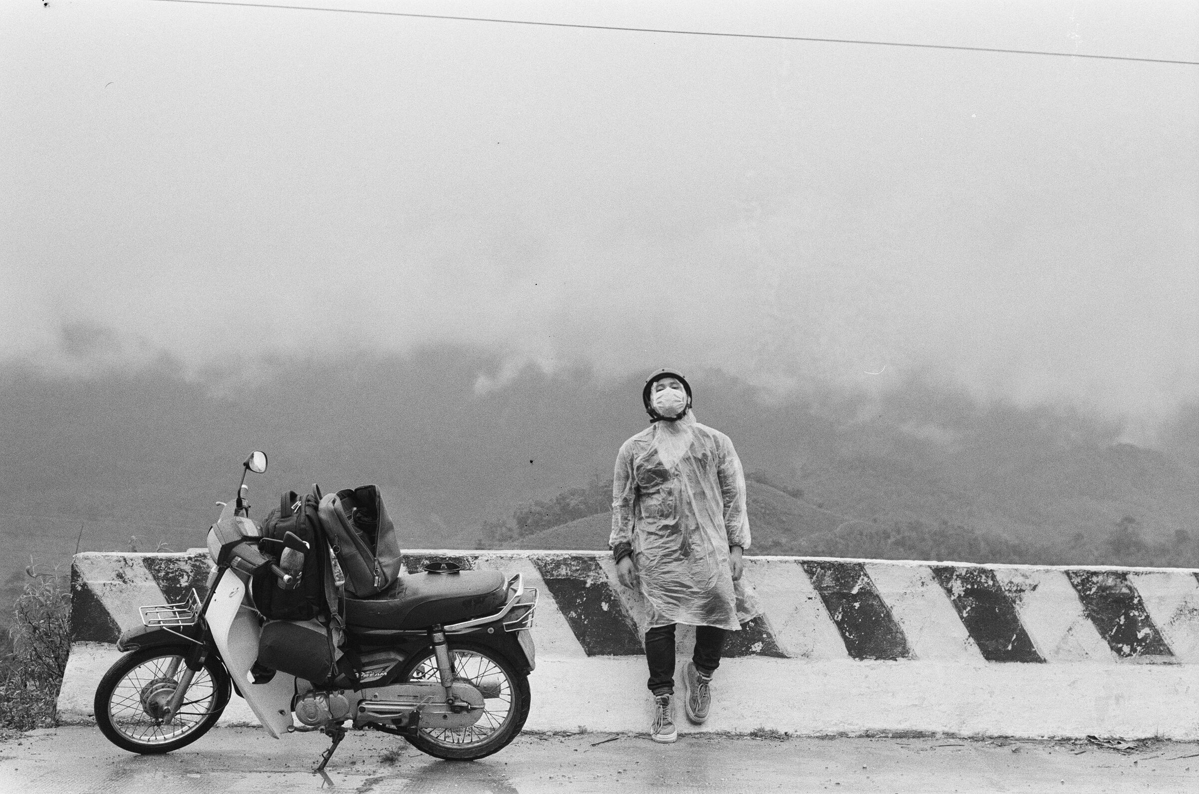
From Mai Chau the road climbs and winds toward Phu Yen, running across quiet secondary countryside roads. The day is built around its landmarks — Road 43, the Da River and the Van Yen ferry — with regular stops to rest, take photos and soak it in. Along the way you pass through a riverside guesthouse town, a reminder that this corner of Vietnam is as much about its people as its passes. Plan on about 5 hrs of riding at an unhurried pace, arriving in good time to settle into your overnight at Phu Yen.
Phu Yen → Son La
- Road 37
- terraced rice fields
- sugar-cane plantations
From Phu Yen the road climbs and winds toward Son La, running across winding mountain roads and rolling hills. The day is built around its landmarks — Road 37, terraced rice fields and sugar-cane plantations — with regular stops to rest, take photos and soak it in. Along the way you pass through Black Thai villages, a reminder that this corner of Vietnam is as much about its people as its passes. Plan on about 6 hrs of riding at an unhurried pace, arriving in good time to settle into your overnight at Son La.
Son La → Tuan Giao
- Pha Din Pass
- high passes
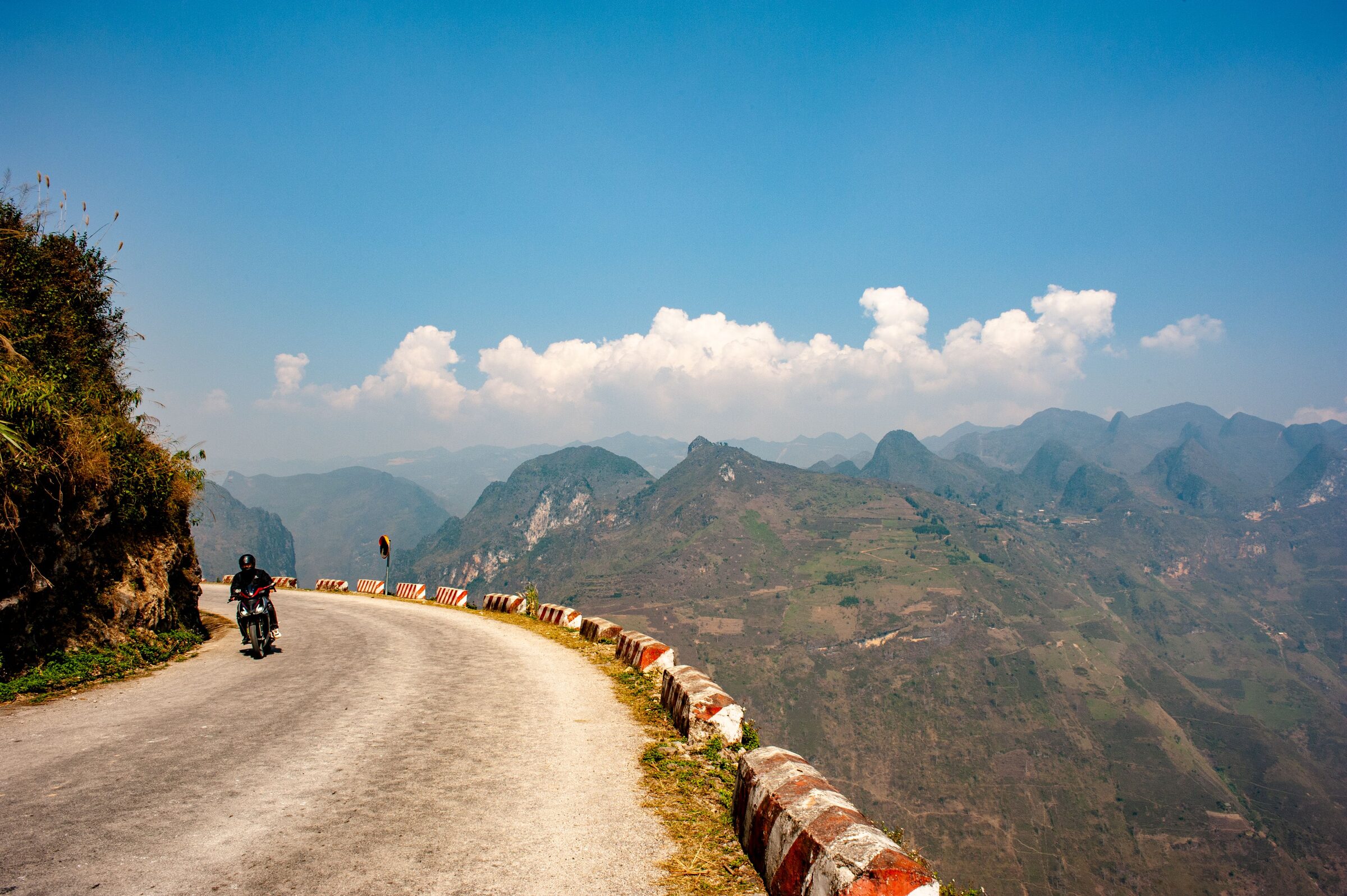
From Son La the road climbs and winds toward Tuan Giao, running across steep, winding mountain passes. The day is built around its landmarks — Pha Din Pass and high passes — with regular stops to rest, take photos and soak it in. Along the way you pass through Black Thai communities, a reminder that this corner of Vietnam is as much about its people as its passes. Plan on about 5 hrs of riding at an unhurried pace, arriving in good time to settle into your overnight at Tuan Giao.
Tuan Giao → Than Uyen
- the Mu Cang Chai massif
- terraced mountainsides
From Tuan Giao the road climbs and winds toward Than Uyen, running across wild, bumpy, remote mountain roads. The day is built around its landmarks — the Mu Cang Chai massif and terraced mountainsides — with regular stops to rest, take photos and soak it in. Along the way you pass through remote hill-tribe communities, a reminder that this corner of Vietnam is as much about its people as its passes. Plan on about 6 hrs of riding at an unhurried pace, arriving in good time to settle into your overnight at Than Uyen.
Als Uyen → Sapa
- the mountain approach to Sapa
From Than Uyen the road climbs and winds toward Sapa, running across an easy track then smooth asphalt. The day is built around its landmarks — the mountain approach to Sapa — with regular stops to rest, take photos and soak it in. Along the way you pass through Flower H’mong and Dzao villages, a reminder that this corner of Vietnam is as much about its people as its passes. Plan on about 5 hrs of riding at an unhurried pace, arriving in good time to settle into your overnight at Sapa.
Sapa → Sapa
- Fansipan
- the Sapa valleys
- Vietnam’s highest pass
There is no long transfer today — the bikes get a rest and so do you. Instead the day is given over to Sapa and its surroundings, taking in Fansipan, the Sapa valleys and Vietnam’s highest pass. It is a chance to slow the pace among H’mong, Giay, Tay and Dao communities. Expect time on foot and, where the route allows, out on the water, before the riding picks up again tomorrow.
Sapa → Bac Ha
- the Lao Cai descent
- Lung Phinh village
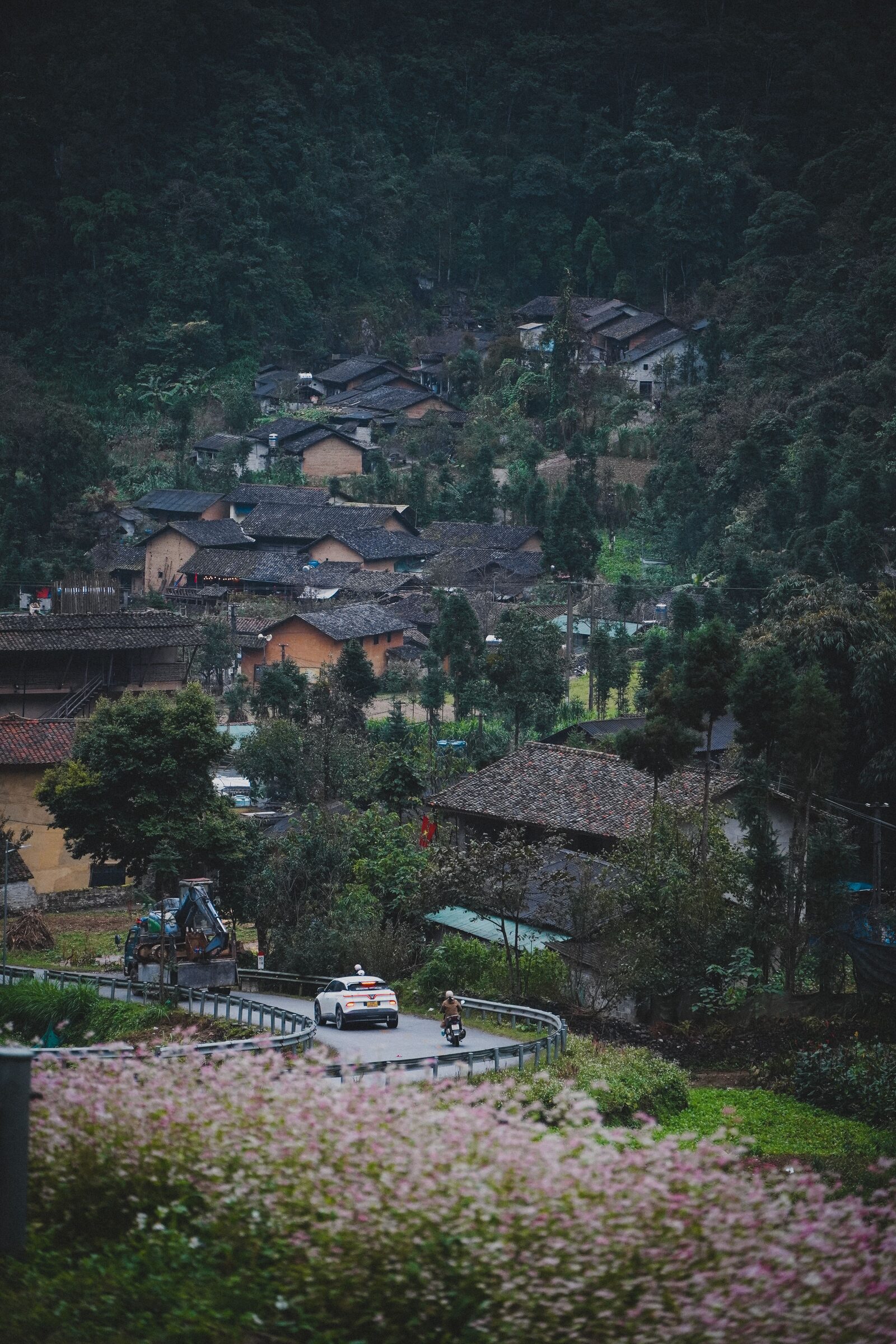
From Sapa the road climbs and winds toward Bac Ha, running across a long descent then a climb into the hills. The day is built around its landmarks — the Lao Cai descent and Lung Phinh village — with regular stops to rest, take photos and soak it in. Along the way you pass through an afternoon trek to hill-tribe villages, a reminder that this corner of Vietnam is as much about its people as its passes. Plan on about 4 hrs of riding at an unhurried pace, arriving in good time to settle into your overnight at Bac Ha.
Bac Ha → Xin Man
- Can Cau market
- the Chinese border country
From Bac Ha the road climbs and winds toward Xin Man, running across minor roads and mountain tracks. The day is built around its landmarks — Can Cau market and the Chinese border country — with regular stops to rest, take photos and soak it in. Along the way you pass through the Flower H’mong and their Saturday market, a reminder that this corner of Vietnam is as much about its people as its passes. Plan on about 3 hrs of riding at an unhurried pace, arriving in good time to settle into your overnight at Xin Man.
Xin Man → Ha Giang
- the Lo River
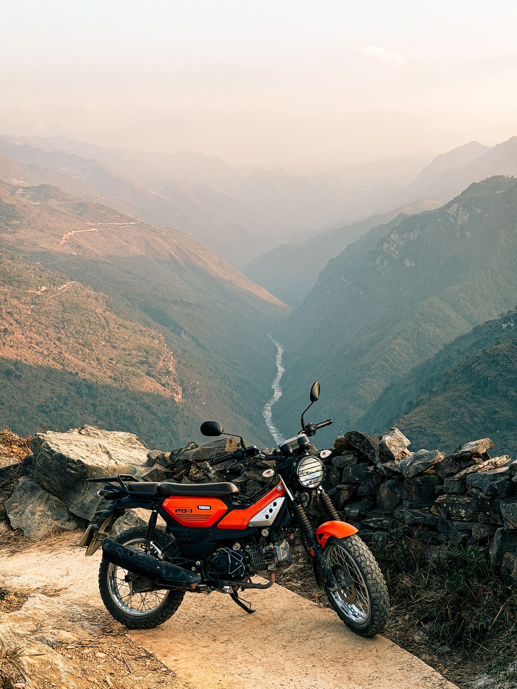
From Xin Man the road climbs and winds toward Ha Giang, running across a quiet, scenic countryside road. The day is built around its landmarks — the Lo River — with regular stops to rest, take photos and soak it in. Along the way you pass through frontier permits arranged at Ha Giang, a reminder that this corner of Vietnam is as much about its people as its passes. Plan on about 6 hrs of riding at an unhurried pace, arriving in good time to settle into your overnight at Ha Giang.
Ha Giang → Dong Van
- Ma Pi Leng Pass
- the Nho Que River canyon
- Dong Van Karst Plateau Geopark
- ancient clay-brick houses
From Ha Giang the road climbs and winds toward Dong Van, running across a zig-zag, challenging mountain track. The day is built around its landmarks — Ma Pi Leng Pass, the Nho Que River canyon, Dong Van Karst Plateau Geopark and ancient clay-brick houses — with regular stops to rest, take photos and soak it in. Along the way you pass through H’mong communities of the high plateau, a reminder that this corner of Vietnam is as much about its people as its passes. Plan on about 6 hrs of riding at an unhurried pace, arriving in good time to settle into your overnight at Dong Van.
Dong Van → Bao Lac
- Bao Lac town and its marketplace
From Dong Van the road climbs and winds toward Bao Lac, running across a decent road, with summer landslides possible. The day is built around its landmarks — Bao Lac town and its marketplace — with regular stops to rest, take photos and soak it in. Along the way you pass through an ethnic crossroads famous for its Sunday market, a reminder that this corner of Vietnam is as much about its people as its passes. Plan on about 4 hrs of riding at an unhurried pace, arriving in good time to settle into your overnight at Bao Lac.
Bao Lac → Cao Bang
- the passes of Cao Bang province
From Bao Lac the road climbs and winds toward Cao Bang, running across several mountain passes with blind curves. The day is built around its landmarks — the passes of Cao Bang province — with regular stops to rest, take photos and soak it in. Along the way you pass through highland market towns, a reminder that this corner of Vietnam is as much about its people as its passes. Plan on about 5 hrs of riding at an unhurried pace, arriving in good time to settle into your overnight at Cao Bang.
Cao Bang → Quang Uyen
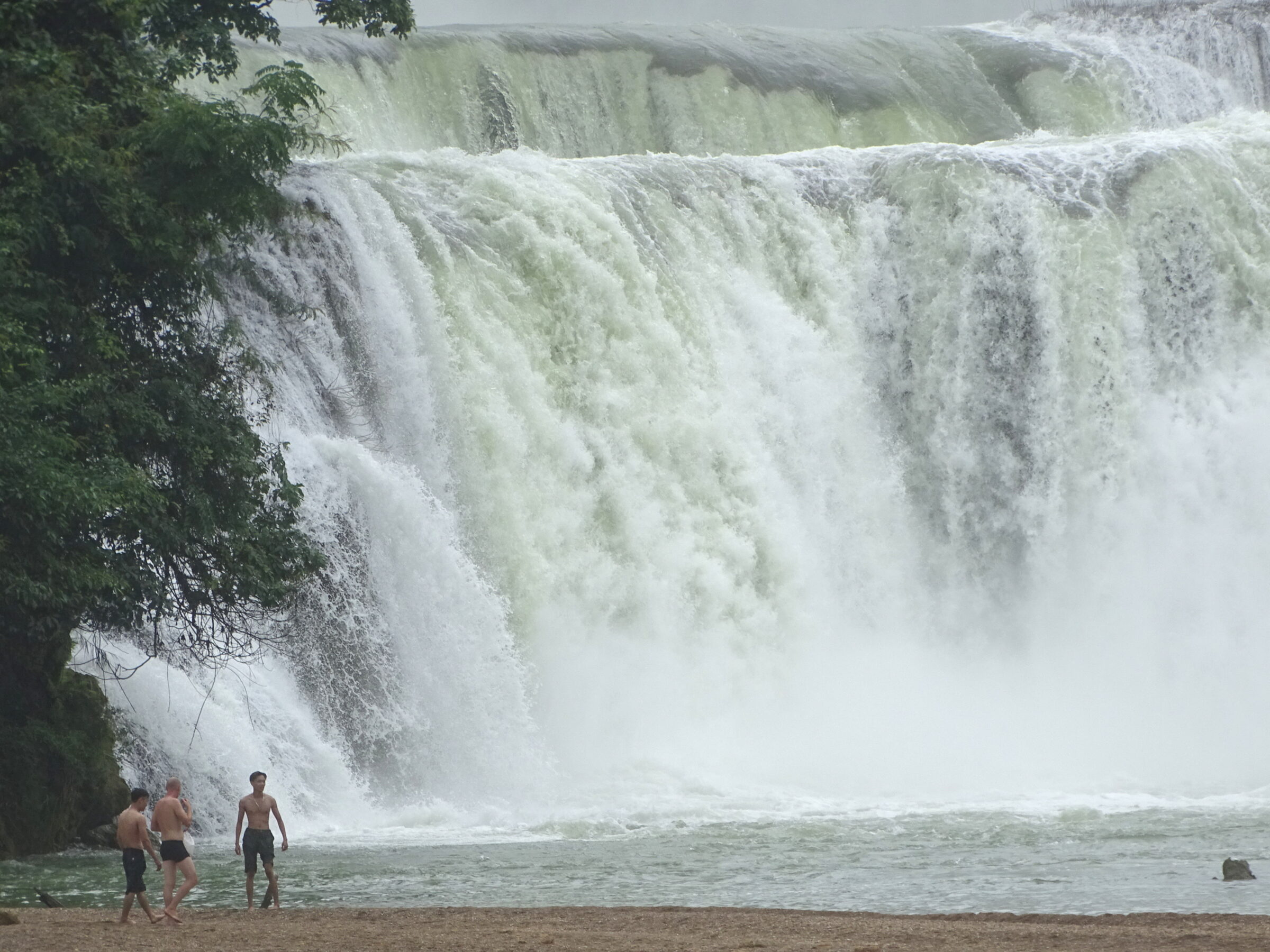
- Ban Gioc Waterfall
- a mountain cirque village
From Cao Bang the road climbs and winds toward Quang Uyen, running across scenic mountain roads. The day is built around its landmarks — Ban Gioc Waterfall and a mountain cirque village — with regular stops to rest, take photos and soak it in. Along the way you pass through the Nung An people and a family homestay, a reminder that this corner of Vietnam is as much about its people as its passes. Plan on about 5 hrs of riding at an unhurried pace, arriving in good time to settle into your overnight at Quang Uyen.
Quang Uyen → Lang Son
- Highway 4
- Dong Kinh Market
- the Vietnam-China border gateway
From Quang Uyen the road climbs and winds toward Lang Son, running across mountainous highland sections. The day is built around its landmarks — Highway 4, Dong Kinh Market and the Vietnam-China border gateway — with regular stops to rest, take photos and soak it in. Along the way you pass through a bustling frontier trading hub, a reminder that this corner of Vietnam is as much about its people as its passes. Plan on about 6 hrs of riding at an unhurried pace, arriving in good time to settle into your overnight at Lang Son.
Lang Son → Hanoi
- Highway 1B
- rolling farmland
The final leg turns for home, trading the high country for rolling farmland and then the flat delta as we make our way back to Hanoi. There is still plenty to enjoy before the end — Highway 1B and rolling farmland. After roughly 3 hrs in the saddle over easy highway riding, we roll back into the city where the journey began. Bikes are handed in during the afternoon, and most riders stay on a night to raise a glass to the miles.
Fully Supported
Was ist enthalten?
Gut zu wissen
Než vyrazíte
The motorcycles
You ride a well-kept Honda CRF250/300L (or XR150L) — capable, comfortable machines suited to long touring days. A mechanic rides with the group with spares and tools.
Best time to go
The centre and south ride well much of the year, with the driest, clearest months from around September to April. We watch the forecast and adjust remote and coastal sections to the conditions.
Who it’s for
Confident riders comfortable with long days in the saddle. The pace is unhurried and fully supported, but a licence and some road time before you come are strongly recommended.
Ride the Grand North Loop
16 days on the finest roads in Vietnam. Message us and we’ll tailor the dates, bikes and pace to your group.